

Construction teams, site planners, and small contractors increasingly rely on digital land survey tools to understand terrain, measure boundaries, estimate slopes, and prepare site layouts before work begins. While professional surveying still requires licensed expertise and specialized equipment, free land survey tools can help project teams organize field data, review maps, perform basic measurements, and communicate site conditions more clearly.
TLDR: Free land survey tools can support construction and site planning by helping teams measure distances, review terrain, capture coordinates, and visualize site layouts. The best options include mapping platforms, CAD tools, GIS software, mobile GPS apps, and drone mapping trial tools. They are most useful for preliminary planning, collaboration, and documentation, but they should not replace certified survey work for legal boundaries or final construction staking.
Why Free Land Survey Tools Matter in Construction Planning
Before excavation, grading, foundation work, or utility installation begins, construction professionals need a clear understanding of the land. They must evaluate slopes, drainage paths, access points, existing structures, property lines, and environmental constraints. Traditionally, this process required a combination of field measurements, paper plans, total stations, and surveyor reports.
Today, free digital tools make early-stage planning more accessible. A small builder can inspect a parcel using satellite imagery, a site manager can record GPS points from a mobile phone, and an architect can import terrain data into design software. These tools reduce guesswork and help teams prepare better questions for licensed surveyors, engineers, and permitting authorities.
However, free tools have limits. Consumer-grade GPS can be inaccurate by several feet, satellite imagery may be outdated, and free mapping data may not meet construction-grade precision. For that reason, the most effective use of these tools is during preliminary site analysis, concept planning, field note collection, and communication.

1. Google Earth
Google Earth remains one of the most popular free tools for site planning and land review. It allows users to explore satellite imagery, topography, roads, nearby buildings, and surrounding terrain from a desktop or mobile device. Construction teams often use it to assess general site context before visiting a property.
Its measuring tools can estimate distance, area, and elevation changes. Users can draw paths, mark locations, and save project areas as KML files. These files can often be shared with consultants or imported into other mapping systems.
- Best for: Visual site review, distance estimates, terrain inspection, and contextual planning.
- Key strengths: Easy to use, widely available, strong imagery, and simple sharing features.
- Limitations: Imagery may not be current, and measurements are not suitable for legal survey work.
2. QGIS
QGIS is a powerful open-source geographic information system used by planners, engineers, environmental consultants, and survey professionals. It is free to download and can handle layers such as property boundaries, elevation models, roads, utilities, drainage areas, zoning data, and aerial imagery.
For construction and site planning, QGIS is especially useful when a project requires multiple data sources to be reviewed together. Teams can import shapefiles, GeoJSON files, CSV coordinate data, and raster maps. They can also create site maps, analyze slopes, calculate areas, and produce presentation-ready layouts.
- Best for: GIS mapping, parcel research, terrain analysis, and professional site exhibits.
- Key strengths: Highly capable, open-source, customizable, and compatible with many data formats.
- Limitations: It has a learning curve and may feel complex for users who only need quick measurements.
3. FreeCAD
FreeCAD is an open-source 3D modeling and CAD platform that can support site planning, conceptual layouts, and basic civil design workflows. While it is not a dedicated land surveying application, it can help teams work with site geometry, create design models, and coordinate measurements for early planning.
Construction professionals may use FreeCAD to create simplified building footprints, access roads, retaining wall concepts, or grading-related references. When combined with survey data or GIS exports, it can become part of a broader planning workflow.
- Best for: Conceptual CAD modeling, site layout studies, and basic design coordination.
- Key strengths: Free, open-source, parametric modeling, and useful for 2D and 3D work.
- Limitations: It is not specifically built for land surveying or construction staking.
4. OpenStreetMap
OpenStreetMap is a collaborative mapping platform that provides free geographic data for roads, paths, buildings, land use, and infrastructure. Site planners can use it to understand surrounding road networks, access routes, nearby amenities, and neighborhood context.
Although OpenStreetMap should not be treated as a certified source for property boundaries, it can be extremely helpful during early research. Its data can also be imported into GIS software, including QGIS, for deeper analysis.
- Best for: Road access review, public map data, context planning, and GIS integration.
- Key strengths: Free data, global coverage, active community, and export flexibility.
- Limitations: Accuracy varies by region because the data is community contributed.
5. ArcGIS Field Maps Free Access Options
ArcGIS Field Maps is commonly used by organizations for field data collection, mapping, and asset documentation. While full access usually depends on an ArcGIS subscription, some users can access free public maps, trial options, or organization-provided accounts. For teams already connected to an institution, agency, or company with ArcGIS access, it can be a strong field tool.
In construction planning, field crews can use map-based forms to record site observations, capture photos, verify asset locations, and collect coordinates. This helps create organized field records that can be reviewed back at the office.
- Best for: Field data collection, photo documentation, asset mapping, and team workflows.
- Key strengths: Professional GIS environment, mobile-friendly, and excellent for structured data.
- Limitations: Free use is limited, and full functionality often requires a paid account.
6. SW Maps
SW Maps is a free Android mapping and GIS application often used for field data collection. It allows users to collect points, lines, and polygons using a phone’s GPS. Users can attach photos, notes, and attribute data to specific locations, making it useful for site visits and condition assessments.
For small construction teams, SW Maps can help document fence lines, drainage features, access points, trees, utility markers, and temporary site constraints. The collected data can be exported for use in GIS or CAD workflows.
- Best for: Mobile GPS mapping, field notes, site observations, and simple data exports.
- Key strengths: Free, practical, field-oriented, and useful without complex setup.
- Limitations: Accuracy depends heavily on the mobile device and GPS conditions.
7. GPS Fields Area Measure
GPS Fields Area Measure is a mobile app commonly used to estimate areas and distances in the field. It is often used for agricultural land, outdoor projects, fencing, landscaping, and preliminary construction planning. A user can walk a perimeter or mark points on a map to calculate a rough area.
For site planning, this tool can help estimate material coverage, temporary storage zones, staging areas, and approximate work boundaries. It is simple, visual, and easy for non-specialists to understand.
- Best for: Area estimates, perimeter checks, quick field measurements, and outdoor planning.
- Key strengths: Easy interface, fast results, and useful for rough calculations.
- Limitations: It should not be used for precise boundary determination or engineering layouts.
8. MapWindow GIS
MapWindow GIS is another free and open-source GIS application. It is less widely known than QGIS, but it can still be useful for viewing, editing, and analyzing geospatial data. It supports common GIS formats and can help teams work with maps, boundaries, and environmental data.
For construction planners who need a lightweight GIS option, MapWindow may be suitable for basic mapping tasks. It can support parcel review, distance measurement, and map preparation for internal use.
- Best for: Basic GIS viewing, map preparation, and geospatial data review.
- Key strengths: Free, open-source, and suitable for common GIS tasks.
- Limitations: It has a smaller ecosystem and fewer modern features than QGIS.
9. DroneDeploy Free Trial and Similar Drone Mapping Trials
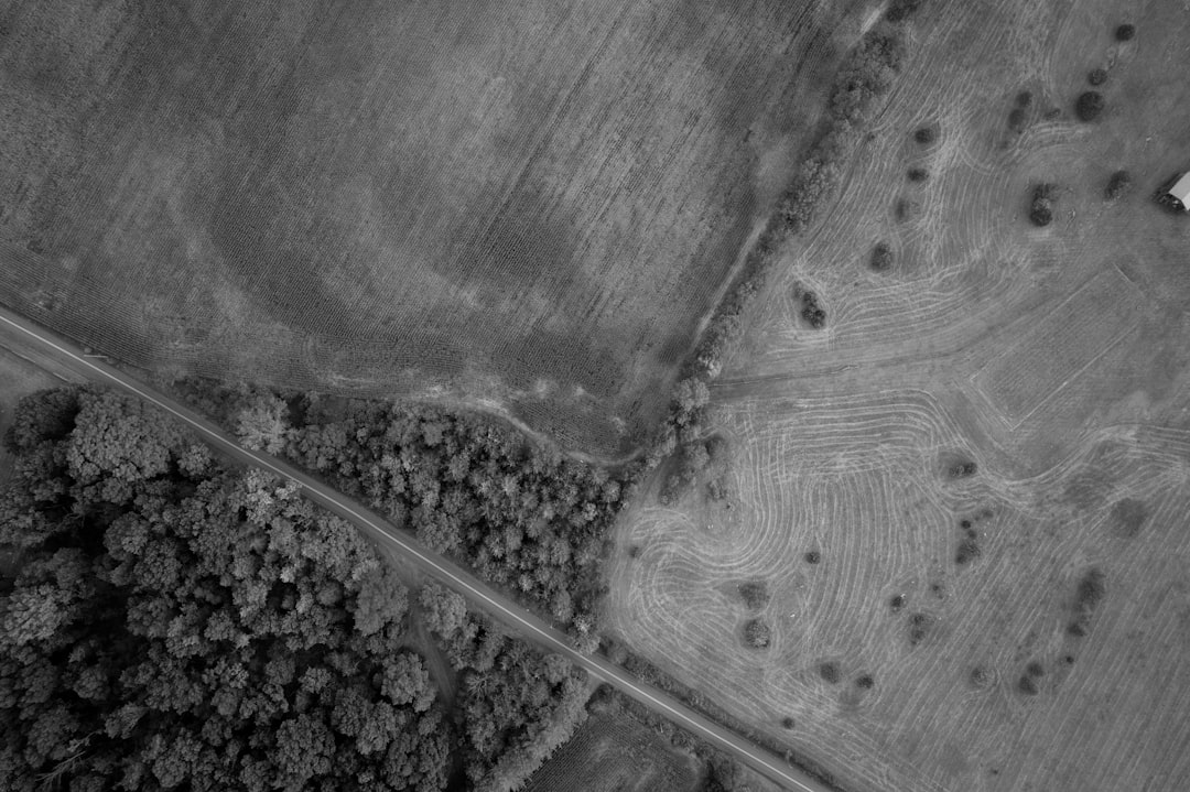
Drone mapping platforms such as DroneDeploy and similar services often provide free trials that allow teams to test aerial mapping workflows. These platforms can process drone imagery into orthomosaic maps, 3D models, elevation surfaces, and progress visuals.
For construction and site planning, drone mapping can be extremely valuable. It allows teams to inspect large parcels, monitor earthwork, review stockpiles, and communicate site progress. Even when the software is not permanently free, a trial can help a project team evaluate whether drone mapping belongs in its workflow.
- Best for: Aerial site mapping, progress documentation, terrain models, and visual reporting.
- Key strengths: High-quality visuals, strong collaboration features, and construction-focused outputs.
- Limitations: Free access is usually temporary, and drone operation may require licensing or compliance with aviation rules.
10. Government GIS Portals and County Parcel Viewers
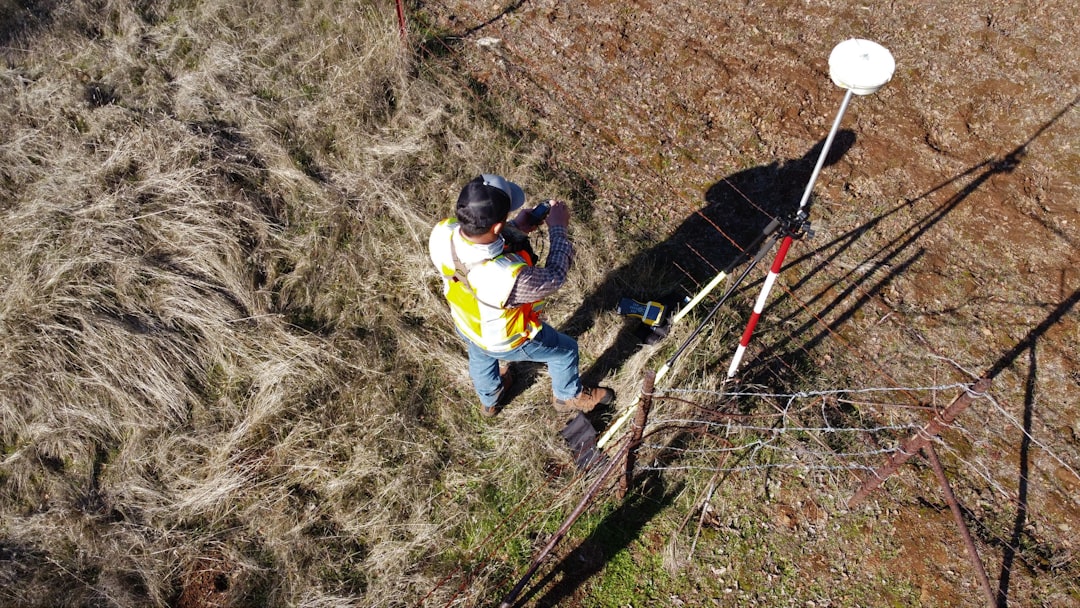
Many local governments provide free online GIS portals or parcel viewers. These tools may include property boundaries, zoning districts, flood zones, contour lines, utility information, easements, road rights of way, and tax parcel data. For construction planning, they can be among the most valuable free resources available.
A project team can use these portals to check zoning restrictions, identify nearby infrastructure, review parcel dimensions, and locate environmental constraints. In some regions, downloadable GIS data is also available for use in QGIS or other mapping software.
- Best for: Parcel research, zoning review, local constraints, and public infrastructure context.
- Key strengths: Local data, often authoritative, free access, and useful for permitting preparation.
- Limitations: Data quality, update frequency, and available layers vary by jurisdiction.
How Construction Teams Should Choose a Free Survey Tool
The right tool depends on the stage of the project and the type of information needed. A contractor preparing for a first site visit may only need Google Earth, a county parcel viewer, and a mobile GPS app. A planner preparing a more detailed site feasibility study may prefer QGIS, government GIS data, and CAD software.
Teams should consider the following factors:
- Accuracy needs: Rough planning can tolerate less precision, while layout and boundaries require professional survey data.
- Data formats: Tools should support common exports such as KML, CSV, SHP, DXF, or GeoJSON when collaboration is required.
- Ease of use: Field crews may need simple mobile tools, while planners may benefit from advanced GIS software.
- Offline capability: Remote construction sites may require apps that can store maps and collect points without a live connection.
- Collaboration: The best tool should make it easy to share maps, notes, images, and measurements with the wider project team.
Important Limitations of Free Land Survey Tools
Free tools are helpful, but they cannot replace professional surveying when precision and legal reliability are required. Property boundaries, easements, construction staking, elevation benchmarks, and final grading verification should be handled by licensed surveyors using professional-grade equipment.
Consumer GPS devices can be affected by trees, buildings, weather, satellite geometry, and device quality. A mobile app may be useful for marking the approximate location of a drainage ditch, but it may not be accurate enough to place a foundation corner. Similarly, online parcel lines may be shifted from true legal boundaries.
For responsible construction planning, free tools should be treated as decision-support resources. They help teams visualize the site, prepare questions, identify risks, and organize information. Certified measurements should still come from qualified professionals.
Conclusion
Free land survey tools provide practical value for construction and site planning, especially during early project research and field documentation. Tools such as Google Earth, QGIS, OpenStreetMap, SW Maps, FreeCAD, mobile area measurement apps, drone mapping trials, and government GIS portals can help teams understand a site before major costs are committed.
The most successful project teams use these tools as part of a layered workflow. They begin with public maps and satellite imagery, collect field observations with mobile apps, analyze data in GIS or CAD software, and then rely on licensed surveyors for legal and construction-grade accuracy. When used carefully, free survey tools can improve planning, reduce confusion, and support more informed construction decisions.
FAQ
Are free land survey tools accurate enough for construction?
Free tools can support preliminary planning, but they are generally not accurate enough for final construction layout, legal boundaries, or staking. Professional survey equipment and licensed surveyors are required for high-precision work.
What is the best free tool for reviewing a site before visiting it?
Google Earth and local government parcel viewers are often the best starting points. They provide quick access to imagery, terrain, roads, parcel data, and surrounding site context.
What is the best free GIS software for land survey planning?
QGIS is widely considered one of the best free GIS platforms. It supports many data formats and can be used for mapping, terrain analysis, parcel review, and site exhibits.
Can a phone GPS app be used to mark property corners?
A phone GPS app can mark approximate locations, but it should not be used to establish legal property corners. Property corners must be verified by a licensed land surveyor.
Are county parcel maps reliable?
County parcel maps are useful for research, but they are not always survey-grade. Parcel lines shown online may be approximate and should be confirmed with official records or a professional survey.
Can drone mapping replace a land survey?
Drone mapping can provide valuable aerial imagery and site models, but it does not automatically replace a professional survey. Survey control points, proper processing, and qualified oversight are needed for accurate results.
Which free tool is best for measuring land area?
For quick area estimates, mobile apps such as GPS Fields Area Measure can be useful. For more detailed area calculations using official datasets, QGIS is typically a stronger option.